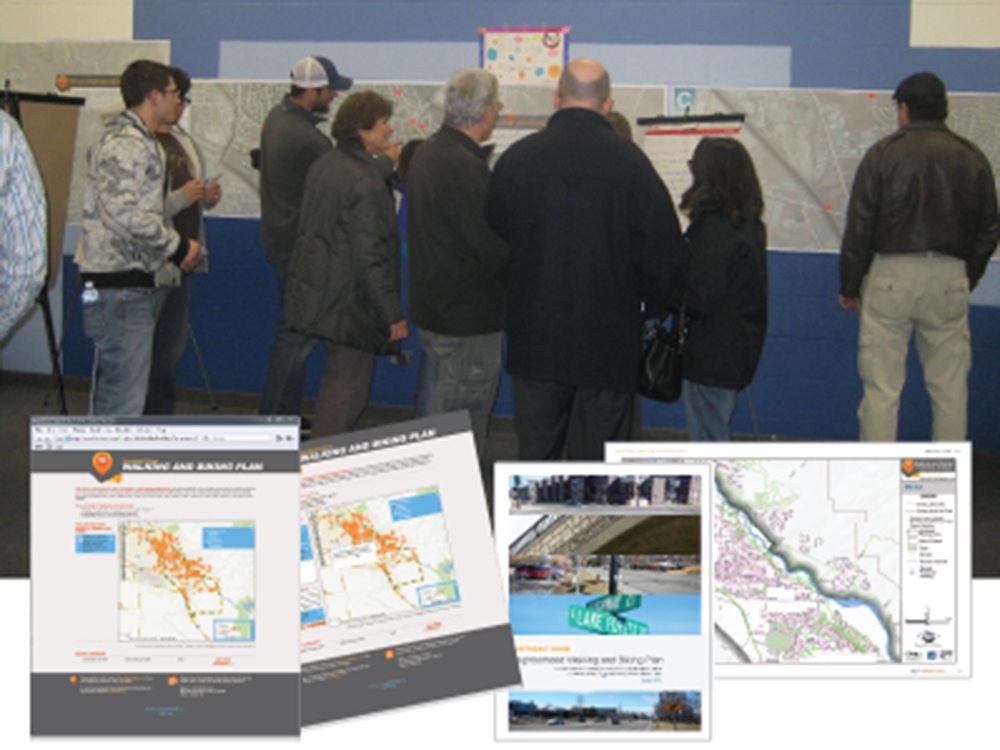
The Ada County Highway District (ACHD) was in need of a strategy to improve walking and biking facilities for residents and visitors. The result was The Southeast Boise Neighborhood Walking and Biking Plan. This plan identifies future pedestrian and bicycle projects within the neighborhood. Projects identified in this plan promote safe, effective, and convenient walking and biking facilities.
Some of the challenges the District faced as they approached the planning process included:
- Understanding how data from regional planning efforts might impact or influence the specific neighborhood planning areas.
- Locating key missing sidewalk segments.
- Gathering input from neighborhood residents and stakeholders.
- Analyzing problem areas and bicycle and pedestrian attractors identified by neighborhood residents.
- Identifying pedestrian and bicycle projects based on existing conditions and public input.
- Creating a plan and putting it into action.
We performed detailed research and analysis of the Southeast Boise Neighborhood area using Geographic Information System (GIS) technology. A special map-based website was built for the project using technology called 3P-Visual—created by Gateway Mapping, our GIS experts. Public input was obtained via 3P-Visual and from public meetings. 3P-Visual allowed citizens to use an interactive web map to identify their locations of concern and to submit comments. Data analysis involved studying public input in conjunction with surrounding demographics, sidewalk deficiencies, detailed economic projections, key pedestrian and bicycle attractors, and barriers to travel.
The Results The deliverable was a detailed plan document that analyzed key bicycle and pedestrian routes. The document presented a list of recommended projects with supporting data about each project. The supporting data was derived from comparing the public input to relevant pedestrian mobility related to geographic data in the area.
The Benefits This project was successful because the technology used provided a unique method for collecting and analyzing public information. As a result, the District has a robust plan with strong data that will help them make better decisions.
What makes this project unique and memorable?
3P-Visual provided a simple-to-use public involvement process where citizens could easily voice their opinion. Using an online map, they were able to place a point at the location(s) most concerning to them. Along with the point, they were able to add detailed comments. The quality of information gathered from this effort made a significant contribution to the overall planning effort.
“Thanks to the J-U-B team for all the great work on the most comprehensive neighborhood-level plan ACHD has undertaken so far. Southeast Boise neighborhood associations and the city have both expressed a sincere appreciation for how thorough and user-friendly the document is, and we’re proud of it too.”
Trevor Kesner, Planner, ACHD


