


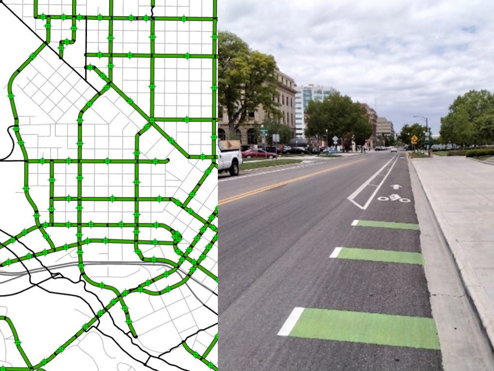
Ada County Highway District (ACHD) contracted J-U-B Engineers, Inc. (J-U-B) to perform a full evaluation and comprehensive inventory of all existing bicycle facilities within the Highway District. The Issue ACHD has over 1,075 miles of roadway within the County, but no complete record of the built bicycle facilities within their jurisdiction. The District wanted a database containing details of all the existing bicycle facilities and adjacent roadways so gaps and deficiencies could be identified in the bicycle network to assist in planning for future projects and coordinate with efforts associated with roadway construction. ACHD did not have an established methodology in place to gather and maintain the bicycle network data within the District. Addressing the Issue Our Geographic Information Systems (GIS) specialist worked with our transportation engineers to determine what measurements and details were essential to capture of the roadway and bicycle facilities to provide ACHD a whole picture of their network. A methodology was established to collect data in the field using cloud-based GIS on mobile devices, and a test pilot was performed to verify its effectiveness. Once the methodology was deemed successful by ACHD, data collection continued until completion.J-U-B provided ACHD online maps so they could monitor the progress of the data collection.
The Results ACHD now has a complete inventory of over 900 miles of bicycle facilities, including field photos of each facility. The District can see if facilities exist on one or both sides of the roadway and where facilities end or change along a roadway corridor. Detailed measurements of roadway width, number of travel lanes, type and width of bicycle facility, location of pavement markings, existence of and width of parking, and type of roadway edge are also available among other details so it can be determined if a facility meets requirements and if there is room on the roadway to make upgrades.
J-U-B provided a geodatabase of the bicycle network, and a methodology and recommendations to move forward to help ACHD maintain the data. The Benefits ACHD started assessing a Level of Traffic Stress (LTS) for their bicycle and pedestrian infrastructure to determine how their facilities are meeting the needs of the people. The bicycle inventory provided the data needed to calculate LTS values for each of the bicycle facilities to identify areas that need improvement. ACHD was also able to coordinate bicycle facility upgrades more easily on roadways as routine road maintenance was being performed.