


Gateway Mapping, Inc. has developed a GIS tool that helps reduce risk and increase data organization and communication for transportation construction projects. With high-dollar transportation construction projects comes high risk for design engineers, construction contractors, and highway departments.
Gateway Mapping, Inc. (GMI), J-U-B’s dedicated GIS group, has developed a GIS solution that helps reduce this risk by providing interactive, visual tools to improve communication within the project team as well as organizing project data for use in an easy-to-use online application.
The Issue
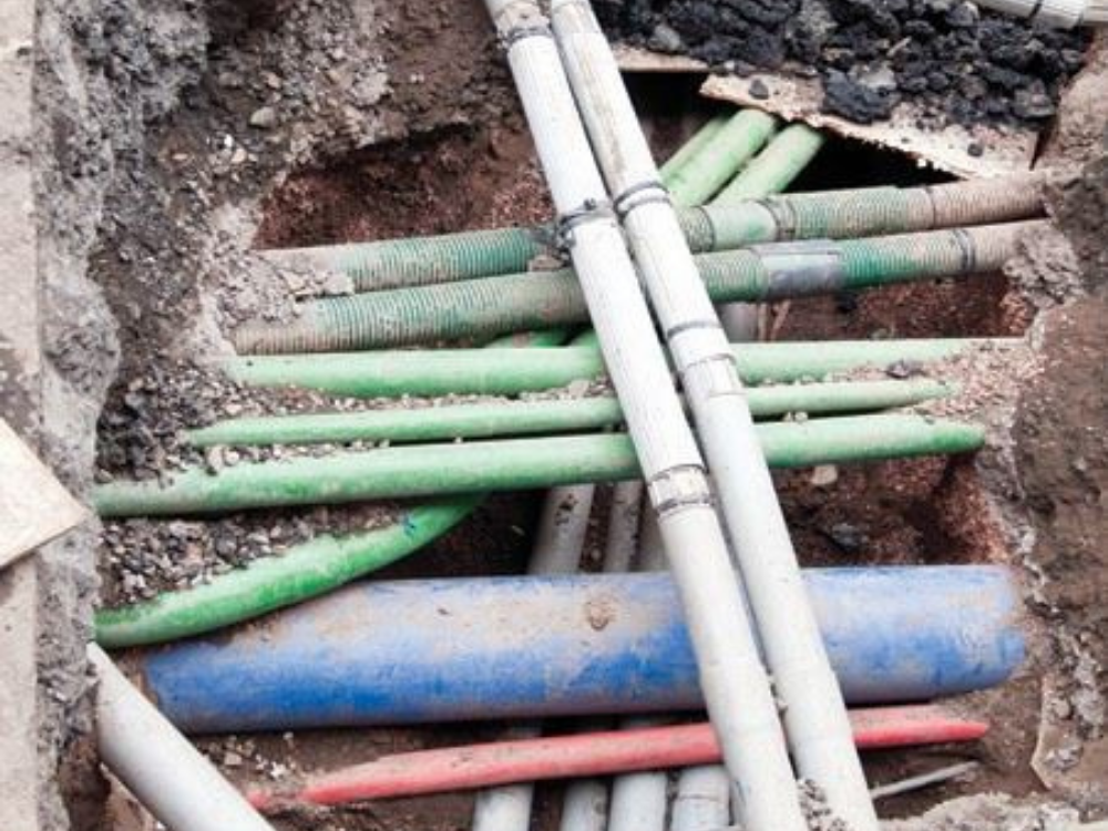
When preparing to construct a new roadway or when widening an active one include conflicts between the new design and existing infrastructure, especially utilities. One of the costliest risks during construction is understanding where the existing utilities are and the plan for removal, relocation, or protection. Design engineers must assess these structures and determine the best method of resolving any conflicts that arise. A clear understanding of utility locations and the resolution of conflicts is crucial to successful construction.
Addressing the Issues
GIS is uniquely designed to take multiple datasets and overlay them in a way that helps to uncover important considerations for project design. The GIS specialists of GMI prepared a web map that included layers displaying the project design, existing utility lines and facilities, and current parcel data. A point layer was created for use by the utility conflict team to allow for input of pertinent information at the specific location where there was potential for a conflict between existing utilities and the current design drawings.
The Results
The project team imported this web map into an online application used to identify potential conflicts, record status updates as conflicts were addressed, and document the final resolution. The map was used in team meetings to display progress and areas of concern. When collaborating with the utility companies, the team was able to easily isolate just the applicable points and address those issues. The Benefits By combining spatial information with associated attributes, the team streamlined data organization and record keeping. Since the map was available online, the project data was easily accessible to be referenced at almost all project meetings. Data was clearly displayed so it was easy for others to see and understand. The team especially appreciated the ability to easily filter the data so they would only see those parts that were important for the target audience. Unique and Memorable Utility conflicts have always been recognized as a risk for construction projects. This project combined the power of GIS technology with the tried-and-true methods of tracking these conflicts that engineers have used in the past. The success of this combined methodology has greatly improved the workflow for these projects, ensuring that we remain at the top of our game to deliver great products for our clients and communities.