Surveying and Geomatics

Productivity Meets Quality

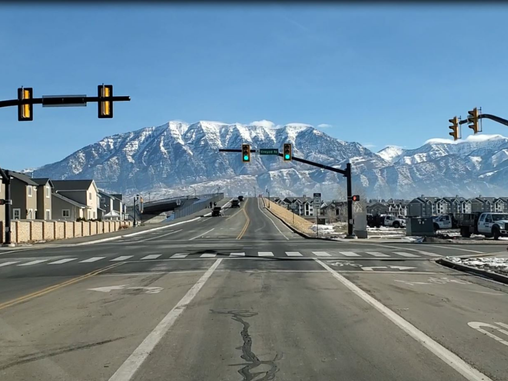
Our surveyors have literally been to Hells Canyon (Idaho) and back. From the rapids of the Snake River to the busiest intersection in Salt Lake City, J-U-B’s surveyors have renowned experience and expertise with cadastral and boundary surveys, littoral and riparian boundaries, three‑mile surveys, ALTA surveys, and topographic surveys. We use the latest technologies and equipment, keeping us at the forefront of quality and productivity.

We Help Your Projects Measure Up
Click on the examples below to see some of our featured projects
View Project
Water Tank Site; Bona Vista Water Improvement District

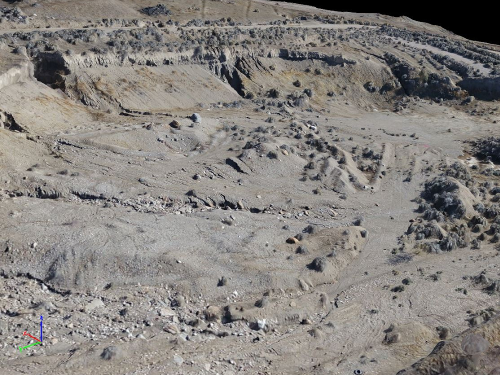
The Bona Vista Water Tank Site has large changes in elevation with many complicated and steep slopes.  J-U-B’s land survey  Read More…

View Project
Center Street Overpass

Land survey teams with J-U-B ENGINEERS successfully performed GPS and conventional surveys for the topographic mapping, right of way determination,  Read More…

View Project
Terrestrial LiDAR Scanning – Hydroelectric Dam

J-U-B ENGINEERS scanned a hydroelectric dam on the Snake River in southeast Idaho. Crews from J-U-B captured 161 indoor and  Read More…

SOLVING PROBLEMS WITH SURVEYING

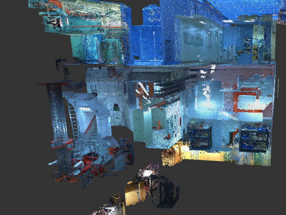
Our staff has vast experience utilizing state‑of‑the‑art survey equipment and related software, including LiDAR scanners, robotic total stations, GNSS receivers, and digital levels.

Our surveying services include:

3-D Laser scanning
American Land Title Association (ALTA) Surveys
Boundary Surveys
Cadastral Surveys
Construction Staking
Digital and Optical Leveling
Easement and Boundary Descriptions
Geodetic Control
Legal Descriptions
Parcel Descriptions
Plat Review
Platting
Records of Survey
Right-of-Way and Easement
Survey Control for Aerial Mapping
Topographic Control